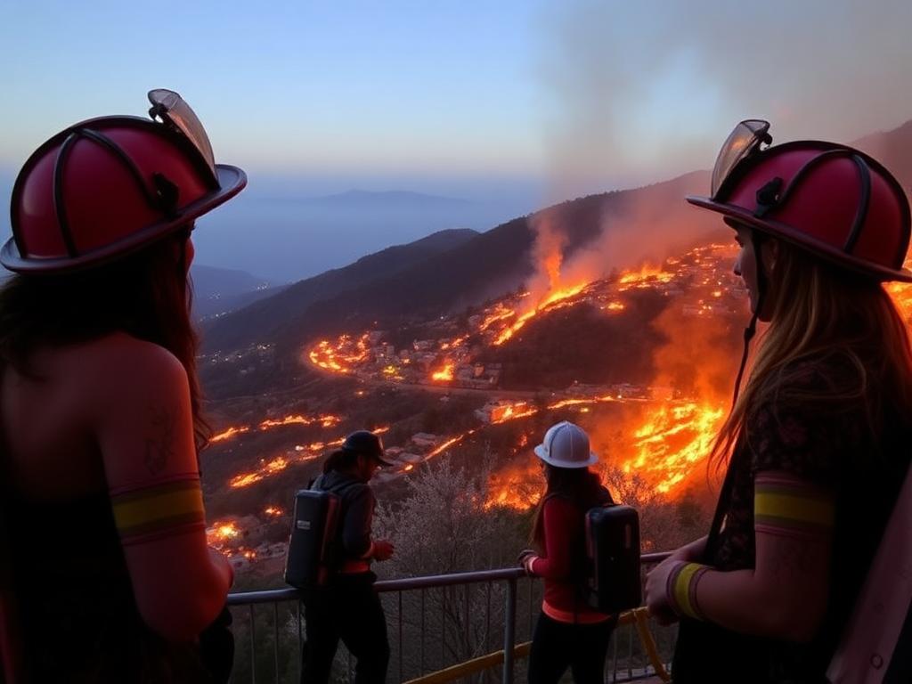
The Palisades Fire has prompted authorities to issue evacuation orders to safeguard residents in affected areas. When faced with such an emergency, knowing the recommended evacuation routes is crucial for ensuring a safe and orderly departure. Here’s a guide to help you navigate this challenging situation.
Live Update:
Staying Safe: Evacuation Routes During the Palisades Fire
Before heading out, check the latest updates from local authorities, fire departments, or official channels like:
Los Angeles Fire Department (LAFD) Website
Local Emergency Broadcasts
Social Media Updates (from verified accounts)
Emergency Alert Systems on your phone
Evacuation routes can change rapidly based on the fire’s behavior, so stay alert to updated instructions.
Primary Evacuation Routes
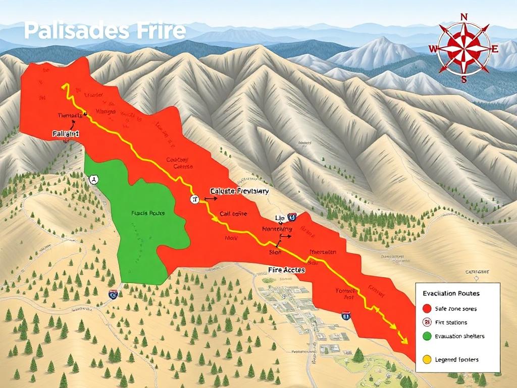
Authorities have designated specific routes to guide residents away from danger zones. These routes are chosen to avoid areas of active fire and ensure smooth traffic flow. Here are the likely recommended routes for Pacific Palisades residents:
Sunset Boulevard:
Ideal for residents living closer to the southern parts of Pacific Palisades.
Connects to Interstate 405 (San Diego Freeway) and Pacific Coast Highway (PCH) for further evacuation.
Pacific Coast Highway (PCH):
A critical north-south artery that provides direct access to safer areas away from the fire’s path.
Head north towards Malibu or south towards Santa Monica depending on fire advisories.
Chautauqua Boulevard:
An effective route to move eastward toward Sunset Boulevard and Interstate 10.
Temescal Canyon Road:
A useful connector between the neighborhoods and Pacific Coast Highway.
Interstate 10 (Santa Monica Freeway):
A vital route for evacuees heading east toward Los Angeles or beyond.
Alternative Routes
Depending on the fire’s progression and road conditions, you might need to consider alternative routes:
Topanga Canyon Boulevard: This route can connect you to the inland areas, but verify its status as it may be prone to closures during wildfires.
Mulholland Drive: For those in the upper hills, this can serve as a secondary escape route to safer zones.
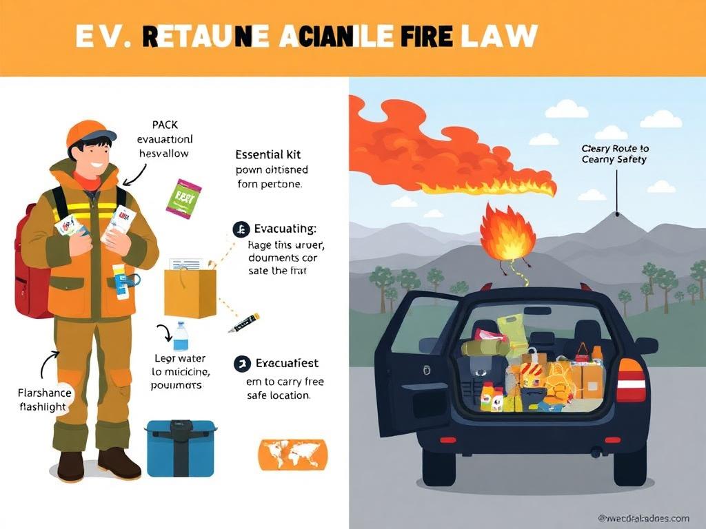
Key Tips for Evacuation
Leave Early:
Waiting until the last moment can lead to congestion and increased danger. If an evacuation warning is issued, begin preparations immediately.
Follow Official Instructions:
Do not use unauthorized shortcuts or routes unless directed by emergency personnel.
Prepare Your Vehicle:
Ensure your car has enough fuel.
Pack an emergency kit, including water, snacks, flashlights, and first-aid supplies.
Communicate Your Plans:
Let friends and family know your intended route and destination.
Drive Safely:
Be cautious of reduced visibility due to smoke and potential road debris.
Resources for Real-Time Traffic Updates
Google Maps or Waze: Enable real-time updates and evacuation route suggestions.
Caltrans QuickMap: Provides live traffic conditions and road closures.
LAFD Alerts: Regular updates on evacuation zones and safe routes.
Conclusion
Evacuating during the Palisades Fire requires prompt action, preparation, and reliance on official guidance. Familiarize yourself with the primary and alternative routes, and stay tuned to emergency updates to adapt your plans as necessary. Your safety and that of your family is paramount—be ready to act decisively when the call comes to evacuate.
 Wellington Importadora
The Palisades Fire has prompted authorities to issue evacuation orders to safeguard residents in affected areas. When faced with such an emergency, knowing the recommended evacuation routes is crucial for ensuring a safe and orderly departure. Here’s a guide to help you navigate this challenging situation.
Live Update:
Staying Safe: Evacuation Routes During the Palisades Fire
Before heading out, check the latest updates from local authorities, fire departments, or official channels like:
Los Angeles Fire Department (LAFD) Website
Local Emergency Broadcasts
Social Media Updates (from verified accounts)
Emergency Alert Systems on your phone
Evacuation routes can change rapidly based on the fire’s behavior, so stay alert to updated instructions.
Primary Evacuation Routes
Authorities have designated specific routes to guide residents away from danger zones. These routes are chosen to avoid areas of active fire and ensure smooth traffic flow. Here are the likely recommended routes for Pacific Palisades residents:
Sunset Boulevard:
Ideal for residents living closer to the southern parts of Pacific Palisades.
Connects to Interstate 405 (San Diego Freeway) and Pacific Coast Highway (PCH) for further evacuation.
Pacific Coast Highway (PCH):
A critical north-south artery that provides direct access to safer areas away from the fire’s path.
Head north towards Malibu or south towards Santa Monica depending on fire advisories.
Chautauqua Boulevard:
An effective route to move eastward toward Sunset Boulevard and Interstate 10.
Temescal Canyon Road:
A useful connector between the neighborhoods and Pacific Coast Highway.
Interstate 10 (Santa Monica Freeway):
A vital route for evacuees heading east toward Los Angeles or beyond.
Alternative Routes
Depending on the fire’s progression and road conditions, you might need to consider alternative routes:
Topanga Canyon Boulevard: This route can connect you to the inland areas, but verify its status as it may be prone to closures during wildfires.
Mulholland Drive: For those in the upper hills, this can serve as a secondary escape route to safer zones.
Key Tips for Evacuation
Leave Early:
Waiting until the last moment can lead to congestion and increased danger. If an evacuation warning is issued, begin preparations immediately.
Follow Official Instructions:
Do not use unauthorized shortcuts or routes unless directed by emergency personnel.
Prepare Your Vehicle:
Ensure your car has enough fuel.
Pack an emergency kit, including water, snacks, flashlights, and first-aid supplies.
Communicate Your Plans:
Let friends and family know your intended route and destination.
Drive Safely:
Be cautious of reduced visibility due to smoke and potential road debris.
Resources for Real-Time Traffic Updates
Google Maps or Waze: Enable real-time updates and evacuation route suggestions.
Caltrans QuickMap: Provides live traffic conditions and road closures.
LAFD Alerts: Regular updates on evacuation zones and safe routes.
Conclusion
Evacuating during the Palisades Fire requires prompt action, preparation, and reliance on official guidance. Familiarize yourself with the primary and alternative routes, and stay tuned to emergency updates to adapt your plans as necessary. Your safety and that of your family is paramount—be ready to act decisively when the call comes to evacuate.